Autonomous vehicle sensor validation
>> Inertial navigation in autonomous vehicle development
Relying solely on GNSS for positioning information produces incomplete data sets. Our world-renowned Inertial Navigation Systems (INS) process data from inertial sensors, tightly coupled with GNSS position updates to provide you with a robust ground truth reference in all conditions.
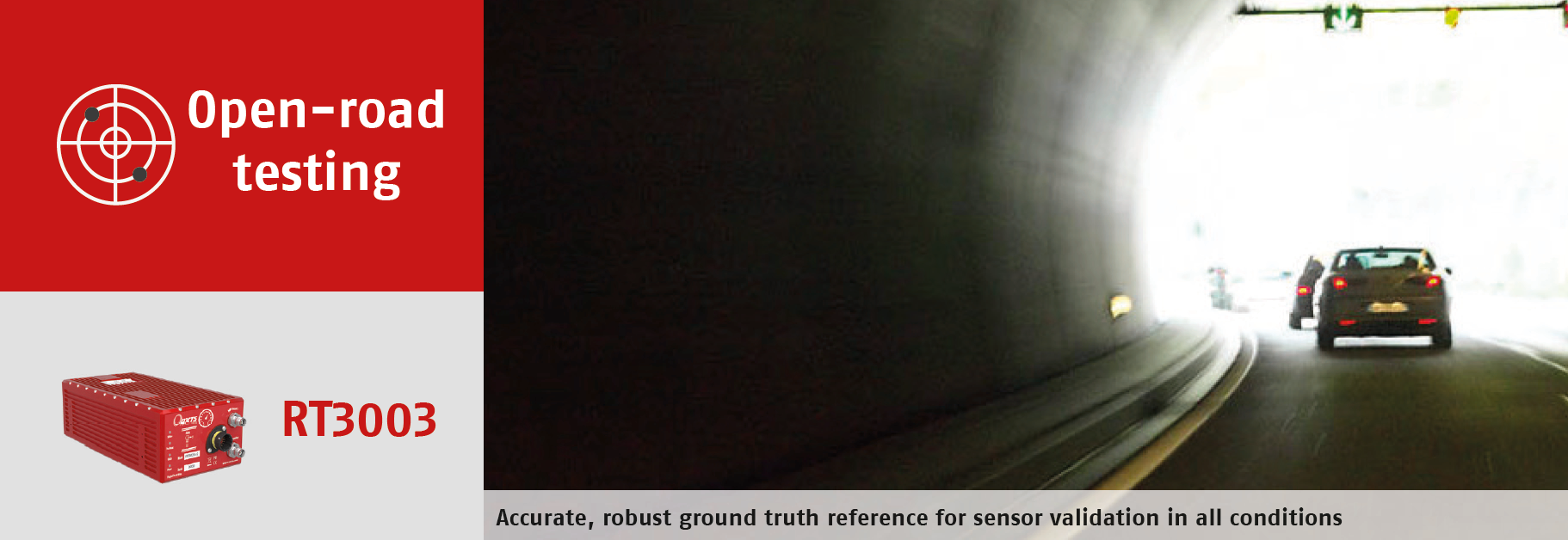
Open-road environments can include poor GNSS conditions, where signals from satellites are blocked. Our system continues to provide stable positioning even when signals are interrupted or lost, such as urban canyons, under bridges or stacked freeways. Using complex algorithms we’re able to provide position updates from less than four satellites in view.
>> More than just positioning
The INS is a central component to many other sensors on board an autonomous vehicle. The vehicle may use an odometer to measure distance, laser scanners for object detection and digital photographic cameras for image recognition. Our INS synchronises the imaging sensors with a GNSS time stamp and blends data with the odometer to minimise position drift if GNSS conditions are poor. Autonomous vehicles rely on the accuracy of imaging sensors. In addition to providing positioning data, our inertial navigation systems also measure roll, pitch, heading and velocity which are important to determine where imaging sensors are pointed and how they move between GNSS updates.


>> Extensive experience
We’ve been developing technology for automotive testing since 1998. We work closely with many automotive OEMs to supply the right blend of technology for the use case. Our Application Projects Team work with customers to design bespoke integrations and workflows to get the best out of the technology being used.
>> Case study: Volvo Cars
Volvo Cars are world leaders in autonomous vehicle development. Using the OxTS RT3003 INS, Volvo Cars engineers are able to collect vast amounts of reference data to assess sensor performance on open roads in Gothenburg and around the world. Data is batch-processed and automatically filtered to maximise efficiency.
>> Which INS is right for you?
OxTS manufacture a range of systems for autonomous vehicle engineers. They differ in features, size, and pricing. Our RT products are designed for vehicle testing, with features such as CAN data processing and multi-vehicle testing. Our Survey+ products are adapted to suit mapping applications with camera integration for georeferencing.
>> gx/ix™ – improved GNSS processing in urban areas
Our gx/ix technology was designed to improve system accuracy in urban environments. As customers were testing increasingly in open-road environments, the need for high quality GNSS signal tracking was required. Our gx/ix technology is able to track single satellites to give a position, and process satellite ‘re-lock’ quickly when signals are lost.
>> Post processing engine
Forward/backward processing is used to reduce drift in areas of GNSS blackout. Our postprocessing tools allow engineers to analyse data in reverse. The combination of the forward and backward processed data provides you with a data set with the smallest amount of drift, meaning more of your data is valid. We allow you to automatically filter data based on your preferred accuracies.
For more information, see our RT3003 product page, or Contact Us