Aerial Survey
Looking for an aerial surveying product to measure position and attitude for geo-referencing? Check out the OXTS range of products. Cost-effective, quick to install, easy to operate.
as well as outputting real-time data, the OXTS range of products comes complete with post-processing software.
In applications where space is limited, or data capture in the same plane as LIDAR/ video/ laser is required, the user can displace the point of measurement.

Application
Airborne imaging
Remote sensing of vegetation
Airborne glacial monitoring
Power line and electricity pylon inspection
LIDAR (Light Detection and Ranging) mapping
Mapping of coastal lines
Cultural heritage sites or forests
Surveillance
Law Enforcement
Hyperspectral imaging
Features
High-accuracy time-stamped navigation measurements
Position accuracy to 1 cm
Real-time and post-process solutions
Comprehensive software suite included at no extra cost
High-accuracy pitch, roll and yaw measurements
100 or 250 Hz system
Event input to synchronise with external devices
NMEA output
DGPS (RINEX, RTCMV3)
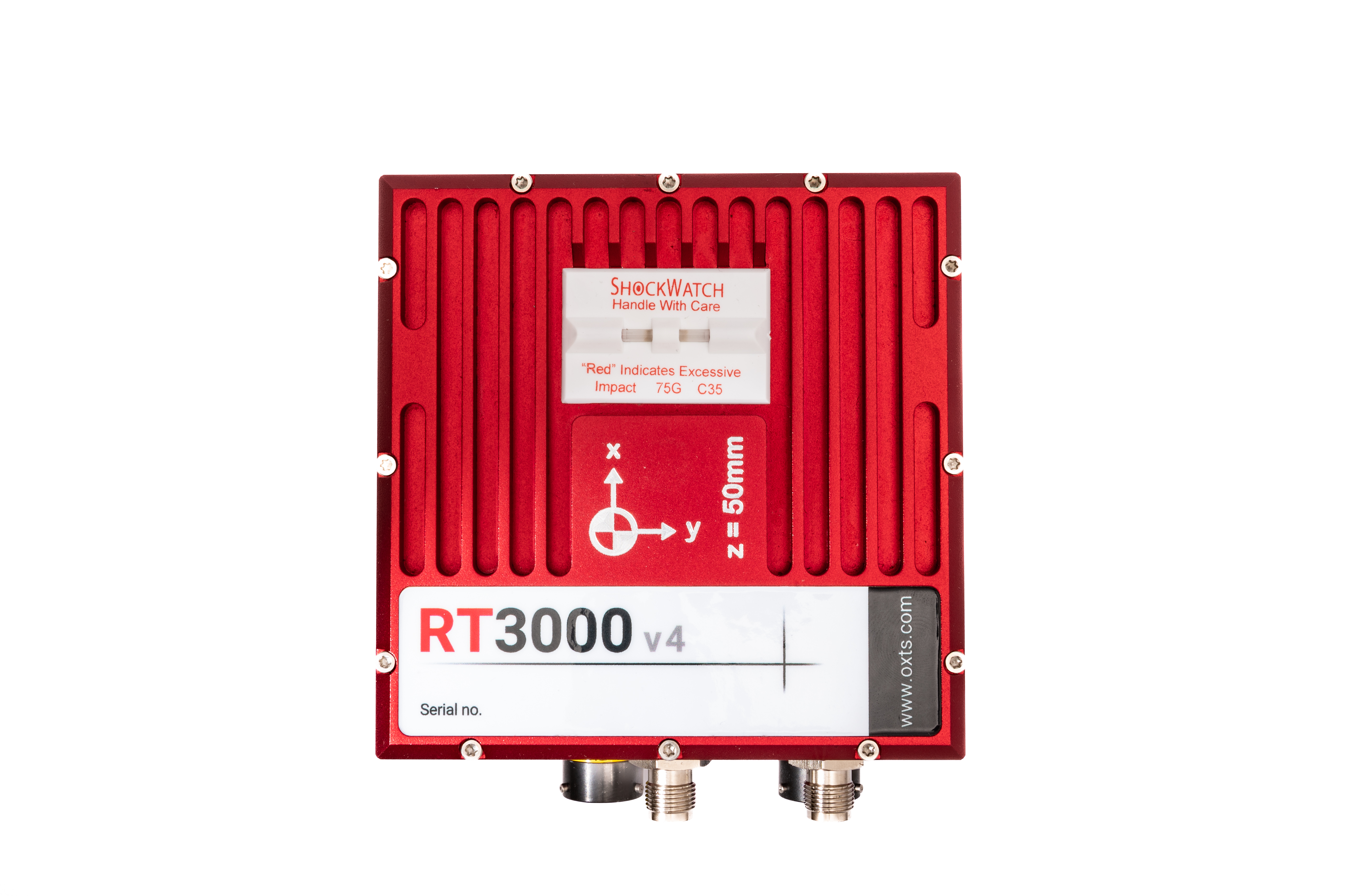
Products
The right product depends entirely on the application.
Please contact one of the experts at Datron, who will be happy to discuss the options available to you.