OXTS products don’t rely on just one measurement principle.
By using the measurements from a six-axis inertial measurement unit as well as a GNSS receiver, they can calculate and maintain position even when passing through a deep cutting or under a bridge. 250Hz update rates mean that the system can provide a constant picture of its orientation for video and lidar systems.
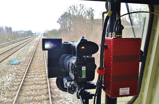
Rail Survey
Getting consistent data out of a GNSS-only product is very challenging when working in a rail environment.
Frequent obstructions can mean drop-outs in data, multipath from reflections, and poor satellite visibility. These conditions mean that it is not possible to collect data, and repeated tests would need to be carried out.
Applications
Trackbed scanning
Lineside vegetation monitoring
Capturing track geometry
General mapping
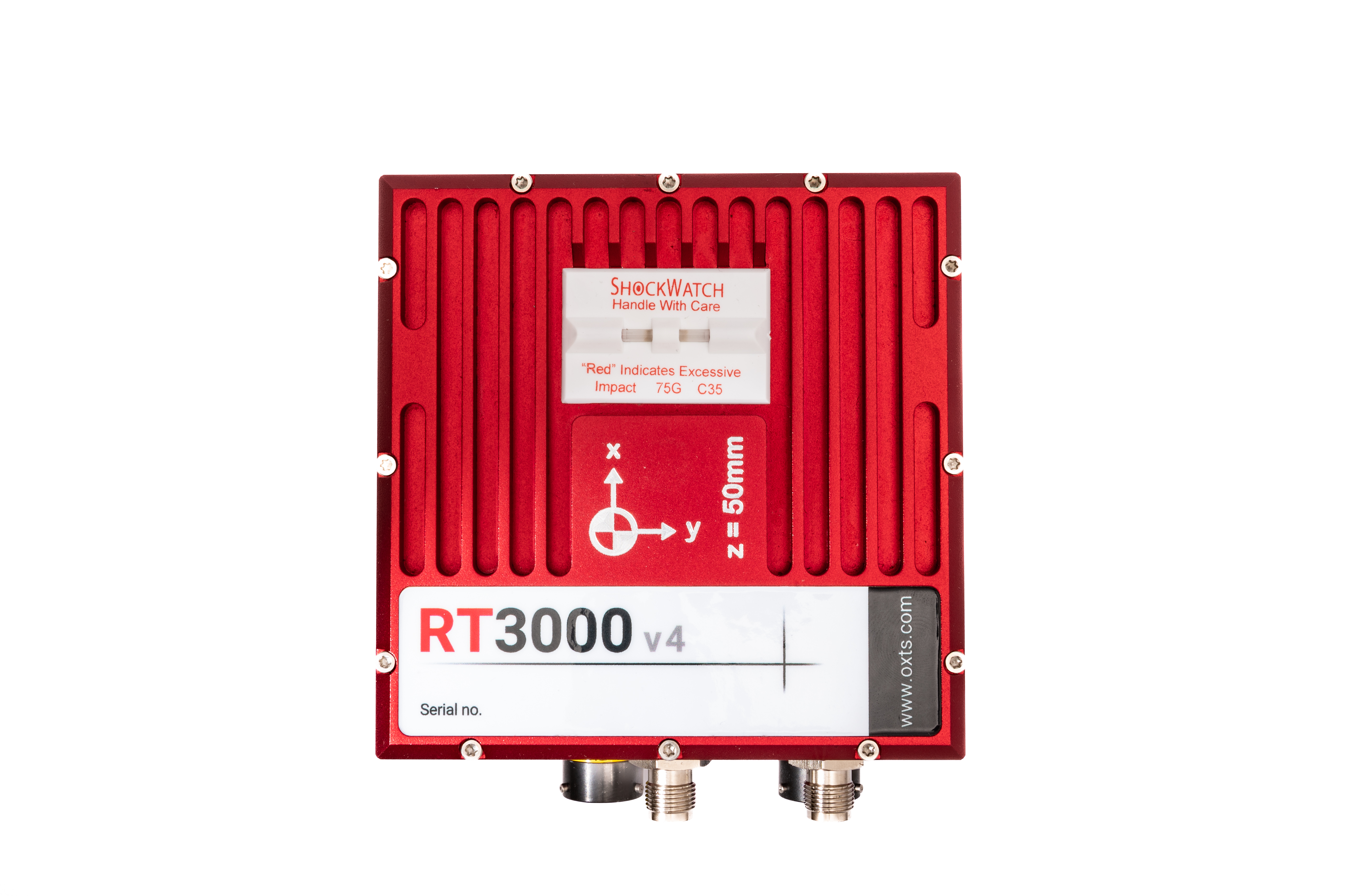
Features
Position measured up to 1 cm accuracy
100 or 250 Hz real-time output
Additional measurements unavailable to GNSS-only solutions
No data interruptions during GNSS blackout
Distance output to trigger external devices
Event input to synchronise with external devices
Single satellite aiding (tight coupling)
Built in NTRIP modem
Post-processing using RINEX files
Comprehensive software suite included at no extra cost
Products
The right product depends entirely on the application.
Please contact one of the experts at Datron, who will be happy to discuss the options available to you.