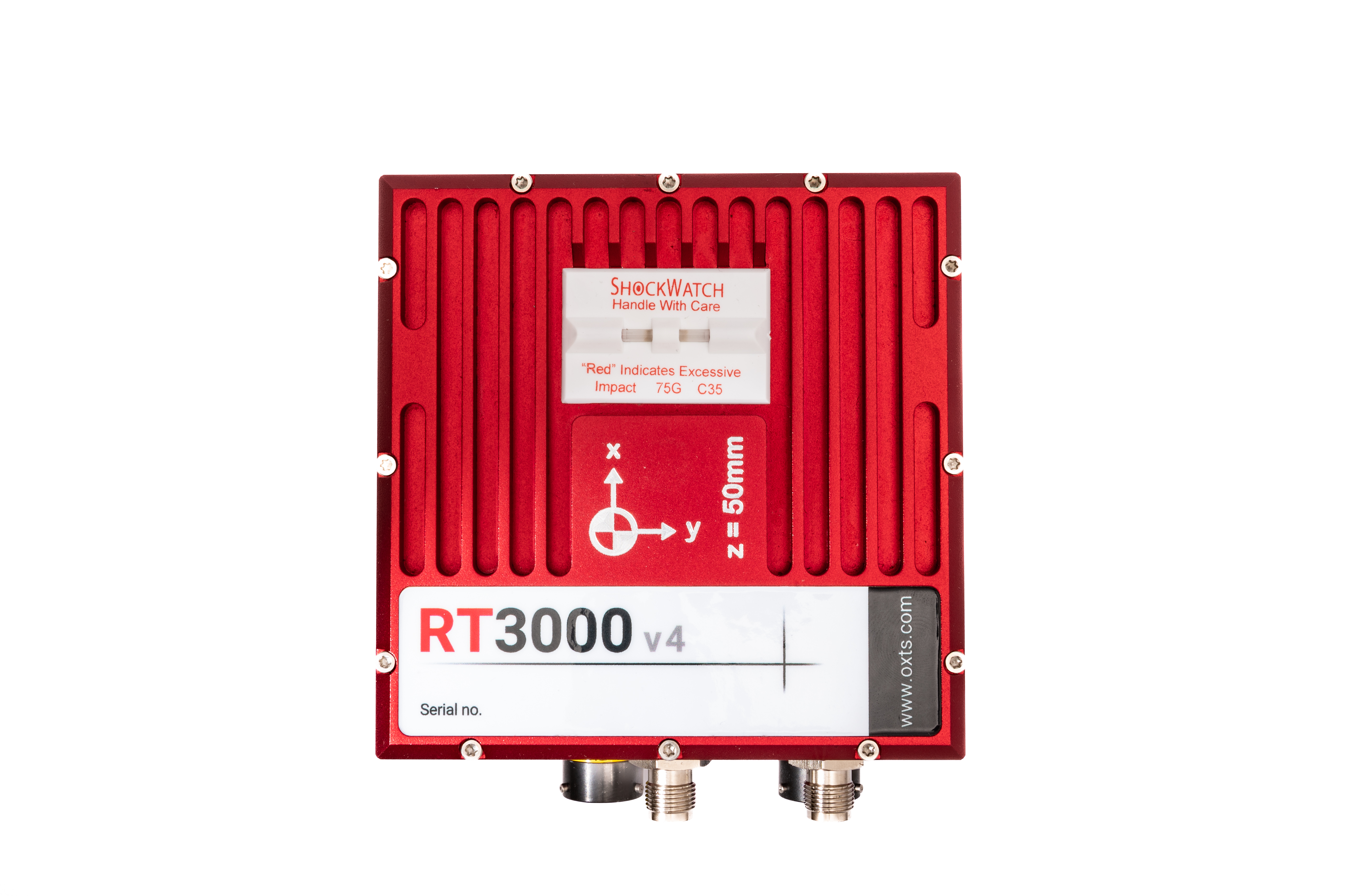
Enhanced GNSS
Using GNSS can be a quick and easy way of collecting data, as long as you have satellite visibility!
In the event of a drop in satellite coverage, there would be nothing for a GNSS-only product to measure.
OXTS Enhanced GNSS products help overcome these issues by taking the data stream from your GNSS receiver, combining it with inertial measurements, and outputting blended GNSS/ Inertial measurements at 250Hz even in poor GNSS environments.

Applications
Land-based survey
Aerial survey
Mobile mapping
LiDAR mapping
Surveillance
System integration
Ground studies
Transport network surveying
Features
Position measured up to 1 cm accuracy
100 or 250 Hz real-time output
Additional measurements unavailable to GNSS-only solutions
No data interruptions during GNSS blackout
Distance output to trigger external devices
Event input to synchronise with external devices
Single satellite aiding (tight coupling)
Built in NTRIP modem
Post-processing using RINEX files
Comprehensive software suite included at no extra cost
Products
The right product depends entirely on the application.
Please contact one of the experts at Datron, who will be happy to discuss the options available to you.


